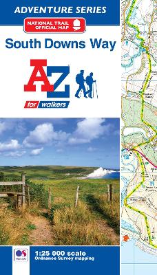
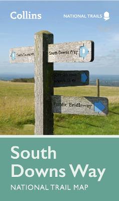
South Downs Way National Trail Map
From Shelf: The South Downs... you're welcome.
Perfect guide and map for planning your adventure along the South Downs Way.
Perfect guide and map for planning your adventure along the South Downs Way.
Highlights of this Planning Map include:
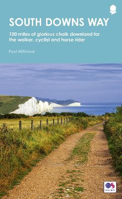
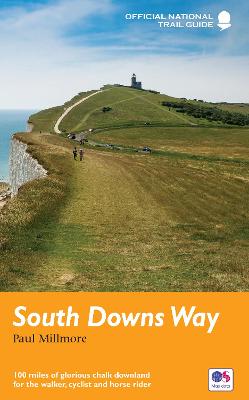
More than 20 highlighted places of interest with detailed descriptions and attractive photographs, including: Brighton Pier, The Long Man of Wilmington, and Seven SistersA comprehensive index to more than 800 cities, towns and villagesA clear, visible route plotted across a 2 miles to 1 inch ( 1.25 km to 1 cm) scale mapAdvice on safety and security when travelling along the route, as well as the countryside code and the code of conductPart of the National Trail network, this long distance footpath covers 100 miles (160 km), starting in Winchester and finishing in Eastbourne, and lies completely within the South Downs National Park. Suggested itineraries for walking, cycling or horse-riding make it easy for users to plan their journey along this scenic route.
RRP: £6.99
Format: Sheet map, folded
ISBN: 9780008602994
Shelves containing this book