whatsapp logo
Image of The South Downs Way Map Booklet

The South Downs Way Map Booklet

Kev Reynolds, Ilsa Moon, Richard Moon

From Shelf: The South Downs... you're welcome.

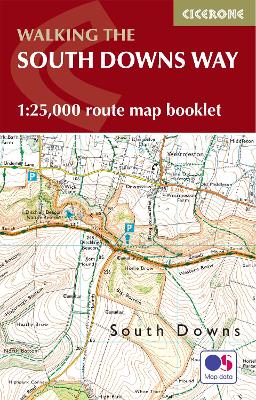
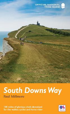
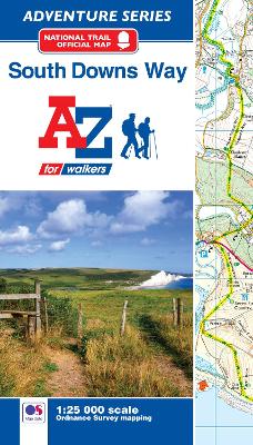
Map of the 100 mile (160km) South Downs Way National Trail, between Eastbourne and Winchester. This booklet is included with the Cicerone guidebook to the trail and shows the full route on OS 1:25,000 maps. The trail typically takes a week to walk and is suitable for most levels of ability.

All the mapping you need to complete the 100 mile (160km) South Downs Way National Trail, between Eastbourne and Winchester. With easy walking on ancient trackways, the route features wooded areas, river valleys and attractive villages and is rich in natural, geological and historical interest. This booklet of Ordnance Survey 1:25,000 Explorer maps has been designed for convenient use on the trail. It shows the full and up-to-date line of the route along with the relevant extract from the OS Explorer map legend, and can be used when walking the trail in either direction. Conveniently sized for slipping into a jacket pocket or the top of a rucksack, it comes in a clear PVC sleeve. An accompanying Cicerone guidebook - The South Downs Way - describes the full route in both directions and includes lots of other practical and historical information, for those who prefer a written guide. The guidebook INCLUDES a copy of this map booklet.

Format:
Paperback / softback
Pages:
64
Publisher:
Cicerone Press
ISBN:
9781786311658
Published Date:
28/6/2023
Edition:
2
Dimensions:
166mm x 106mm x 8mm
Weight:
70g
Category:
Travel maps & atlases

RRP: £12.95

Format: Paperback / softback

ISBN: 9781786311658

Avatar
Much Ado Books is selling this book
£12.95 (New)

Shelves containing this book